Transform satellite data into actionable intelligence with our advanced AI-powered analysis platform
Track construction progress, urban expansion, and infrastructure development with precision and accuracy.
Monitor deforestation, land use changes, and environmental impact assessment for sustainability planning.
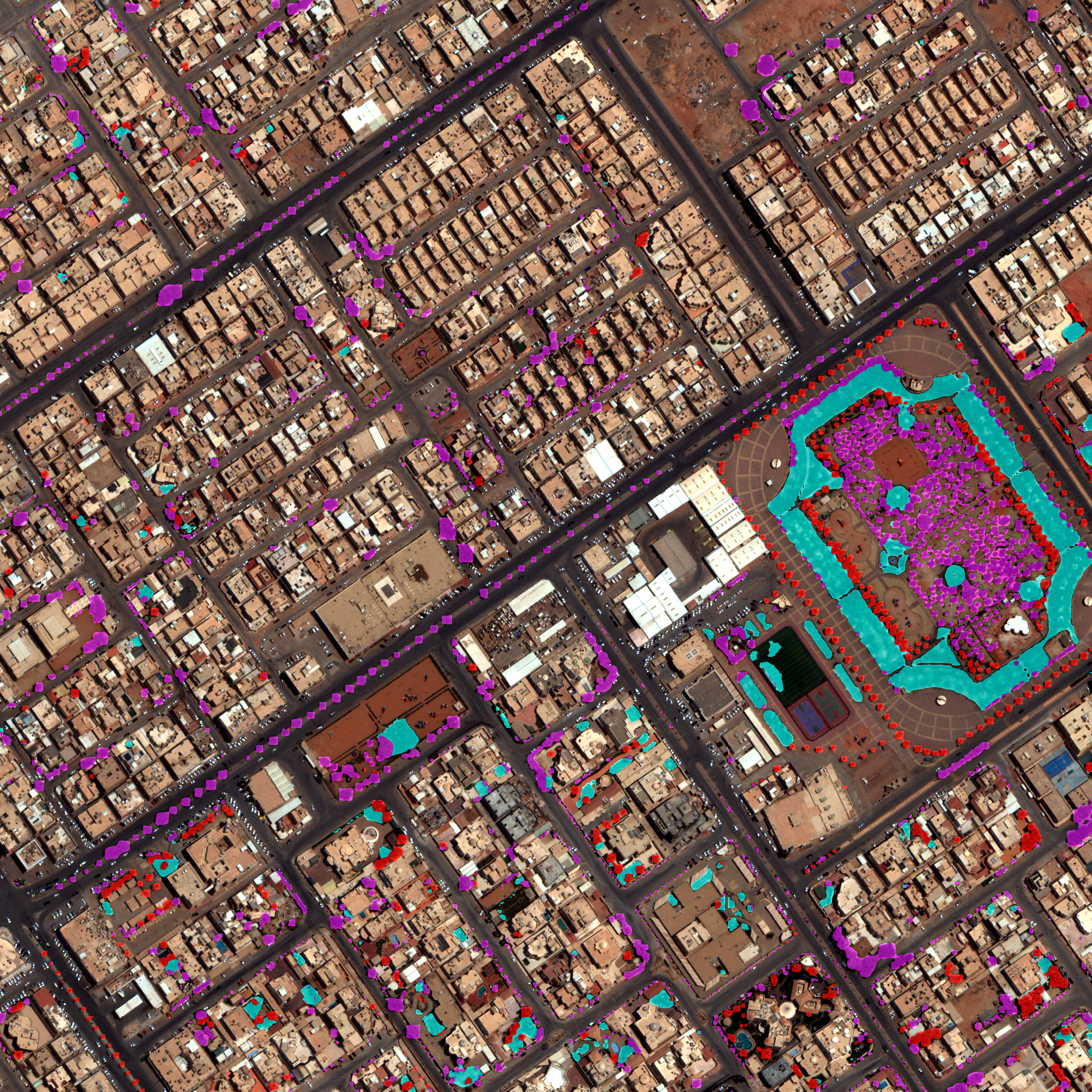
Automated detection of changes in terrain, vegetation, and built environments over time.
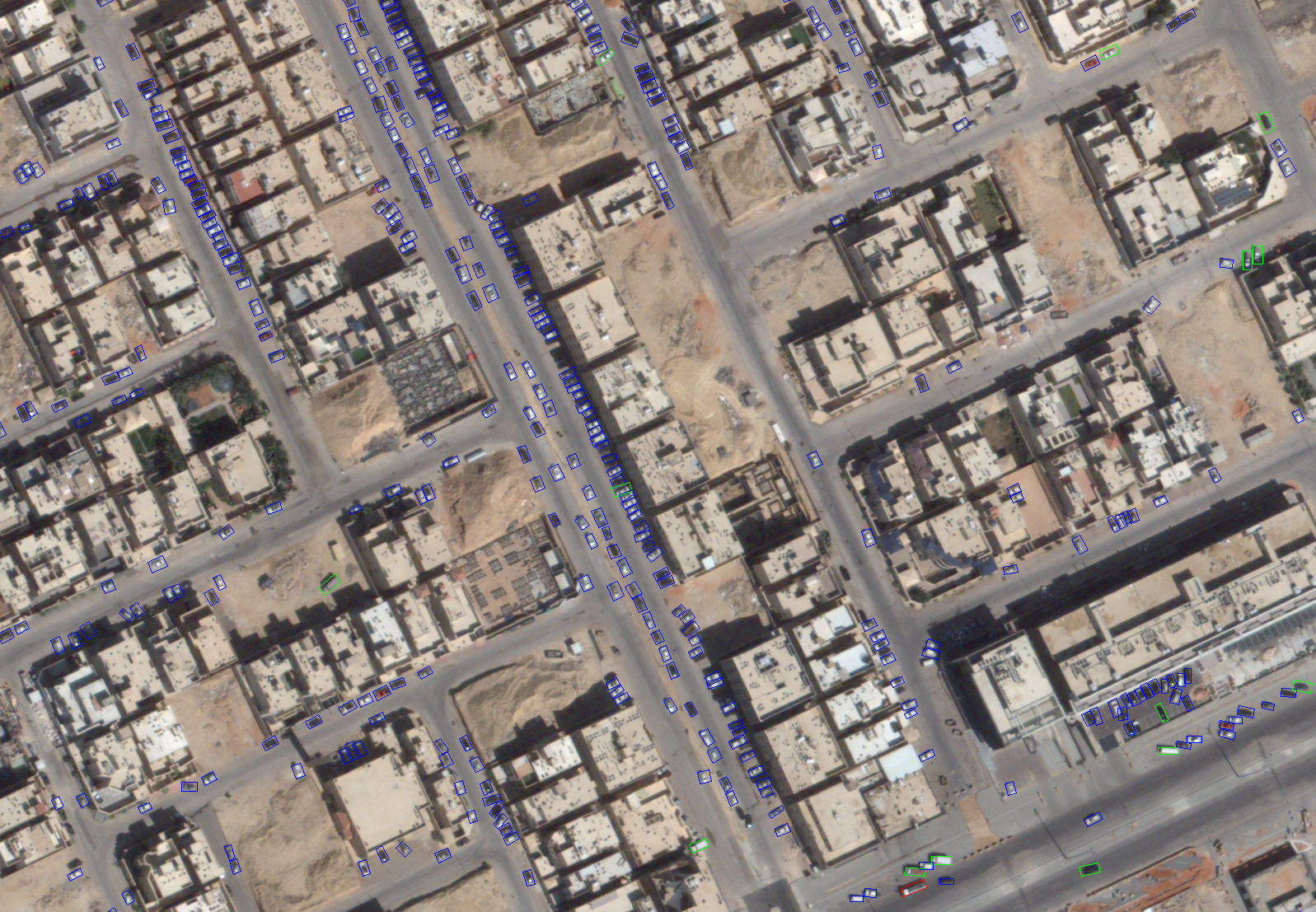
Advanced AI algorithms for identifying and classifying objects, vehicles, and structures from satellite imagery.
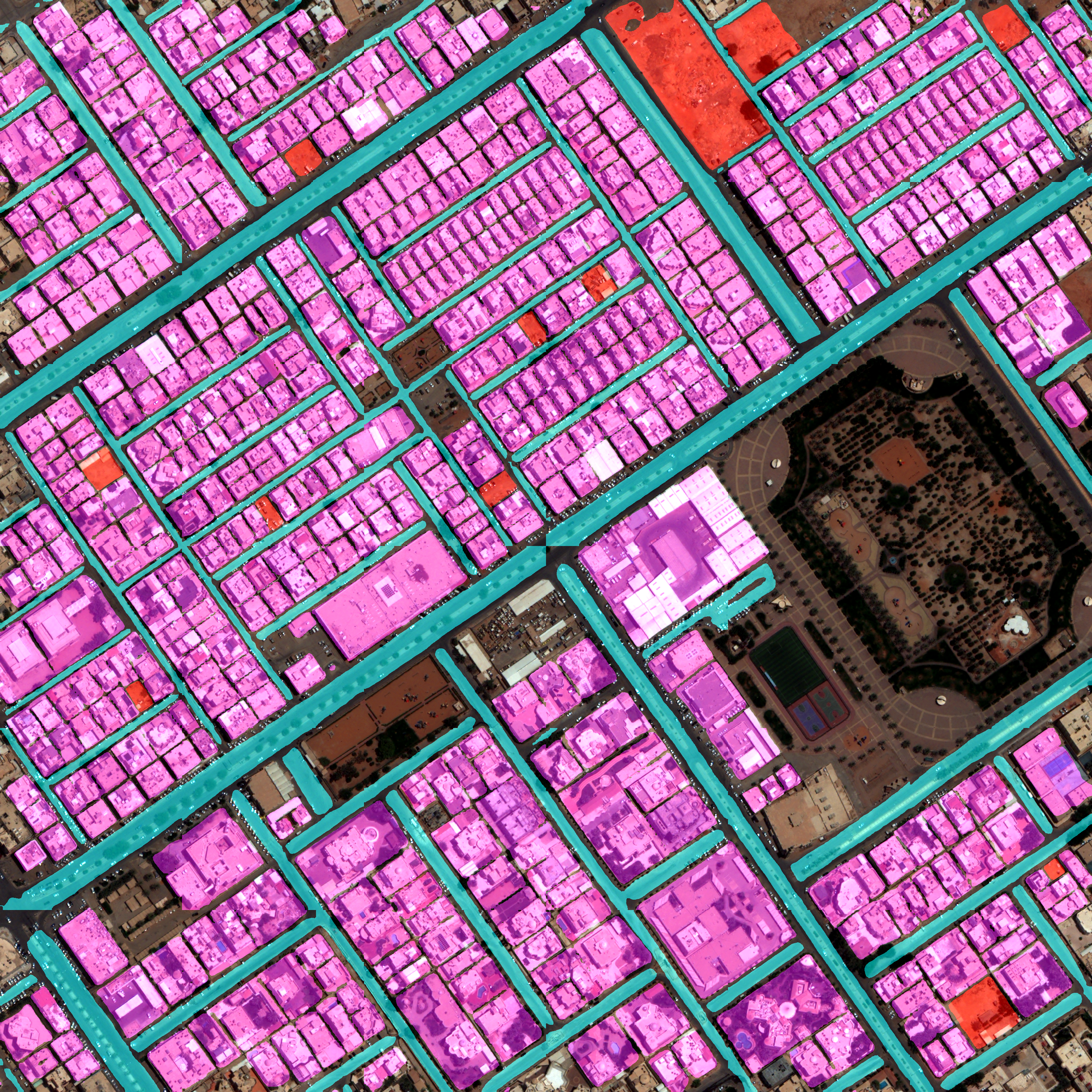
Support city planners with accurate, up-to-date information about urban growth patterns and infrastructure development.
Track environmental changes, assess forest health, and monitor conservation efforts with precision.
Monitor critical infrastructure, transportation networks, and industrial facilities for operational efficiency.
Contact us to learn how our satellite imagery analysis solutions can benefit your organization.
Get Started